
Downpours and thunderstorms are back, sparking flooding and travel concerns for NJ
The Bottom Line
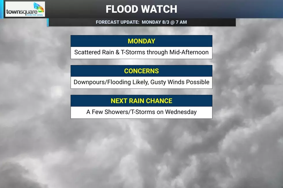
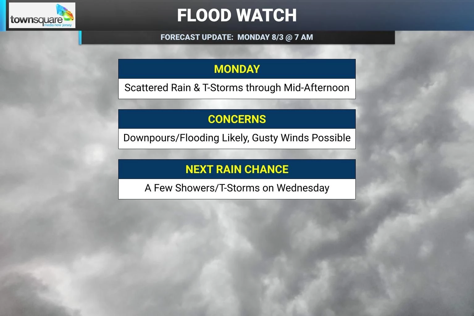
It’s raining, it’s pouring. New Jersey’s latest storm system has arrived, and it will lead to scattered rain and thunderstorms through Monday morning and part of the afternoon. Heavy rain will push rainfall totals over an inch — even multiple inches in isolated pockets — which could lead to ponding and flooding issues. A Flood Watch is in effect for most of the state. The rain and clouds will keep temperatures down a bit, but humidity will be high and uncomfortable Monday — even when it is not raining, it will feel like a sauna outside. A cold front will sweep out the rain and some of the humidity Monday night, leading to a drier and more comfortable day on Tuesday. A warm front will bring back thunderstorm chances and humidity on Wednesday. And then New Jersey enters a hot and humid stretch of weather through the second half of the week, with daily 90-plus-degree temperatures possible from Thursday through sometime next week.

Weather Hazards
I have put a "yellow alert" icon on Monday's forecast for both flooding and severe weather potential. While the overall risk is low that either of these become widespread issues around New Jersey, there could be some issues in low-lying areas. And if the atmosphere destabilizes enough, a stronger thunderstorm cell could push out some gusty winds and dangerous lightning.
A Flood Watch has been issued for all or part of 17 NJ counties until 11 p.m. Monday evening. The only piece of the state not under this watch is the southern coast.
Storms later this week could also bring severe weather concerns. The bigger story late-week will likely be building heat. Widespread temperatures in the 90s plus dew points in the 70s would yield a heat index potentially pushing 100 degrees. Back on the border of "dangerous heat" territory, for the first time in a while.
Climatological Context
August 3 is the 215th day of 2026.
Normal high temperatures range from 85 to 86 degrees. Normal low temperatures range from 67 to 69 degrees. This is the first time this year that these numbers have started to come down.
August is, on average, New Jersey’s second hottest and second wettest month of the year.
Monday
The word of the day is tropical. Not only does the air feel tropical, with high humidity back in play, but that is helping to fuel some very heavy rainfall to boot. My ride to work was awful Monday morning, slowed by torrents of rain, dramatically lowered visibility, and hydroplaning. You may find the same at times for a good part of the day.
Scattered rain and thunderstorms will continue through the morning and until about mid to late afternoon. Some places are already over an inch of total rainfall, and additional pockets of heavy rain could cause ponding and flooding issues. It will not be a total washout from start to finish, but outdoor plans are definitely in trouble.
The rain and clouds will hold temperatures down, with highs mainly in the lower 80s. But do not expect much relief. It will be breezy, mostly cloudy, and very humid. Even if your neighborhood catches a dry stretch, the air will feel stifling, steamy, and sauna-ish.
We should start to see a drying trend late Monday afternoon and especially Monday evening, as a cold front approaches. Lingering showers may continue into Monday evening, followed by clearing skies overnight. Low temperatures will settle in the mid 60s, already more comfortable than the night before.
Tuesday
Tuesday is the one day this week I would call nice.
As a cold front crosses New Jersey Monday night, it will sweep out the rain and some of the humidity. It will not have a dramatic effect on temperatures, but it should make the air feel much better.
For Tuesday, expect mostly sunny skies, dry weather, and noticeably lower (although not "low") humidity. High temperatures will reach the lower to mid 80s, seasonably warm and quite manageable for early August.
Wednesday
Wednesday is a warm front day, bringing yet another set of unsettled changes to New Jersey's weather.
Humidity will be on the rise again, raising the "steam and sweat" factor. For most of the day, we should see a mix of clouds and sun, with high temperatures back in the 80s.
There will be an opportunity for a few showers and thunderstorms on Wednesday too, especially late-day. Overall coverage of those storms looks less than that of Monday. But storms could easily produce gusty winds or heavy downpours. So there could be some concerning weather.
Thursday & Beyond
Latest model guidance shows the extended forecast window turning hot and humid, starting on Thursday.
Thursday's high temperatures are expected to climb to 90+ degrees for inland areas. And there will be the chance of a popup thunderstorm too.
That will be a familiar story through the rest of the week, into the weekend too. Building heat and daily storm chances. Temperatures could reach 90 degrees or higher each day from Thursday through sometime next week. With humidity also running high, the heat index could push close to 100 degrees at times. Yuck.
We'll have to track the storm chances day-by-day for Thursday and beyond, to see how the ingredients come together. For now, Thursday, Friday, and Saturday look to feature only isolated to spotty thunderstorms — but if there's a chance for more widespread stormy weather, we will let you know.
11 reasons why storm chasing in NJ is a very, very bad idea
Gallery Credit: Dan Zarrow
Dan Zarrow is Chief Meteorologist for Townsquare Media New Jersey. Follow him on Facebook for the latest forecast and realtime weather updates.
Significant or historical events in New Jersey for August (in chronological order)
Gallery Credit: Dan Alexander
